Methodology
1. Clipping all OSM data with MP19 Subzone Boundary
To extract the features from OSM data that falls within the MP19 Subzone Boundary by utilising GeoProcessing Tool Clip.
2. Convert polygon to point for TEL Stage 4 Stations
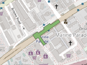
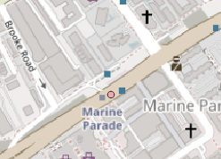
To convert the existing polygon to point from OSM transport layer, it will then allow us to utilise Iso-area function from QNEAT3 plugin for QGIS. We utilise Centroids function from QGIS to change from polygon to point geometry.
3. Iso-Area as Polygons
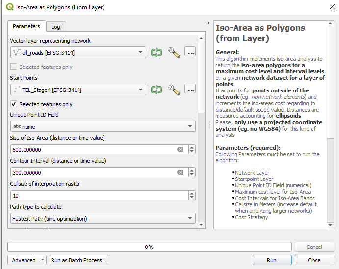

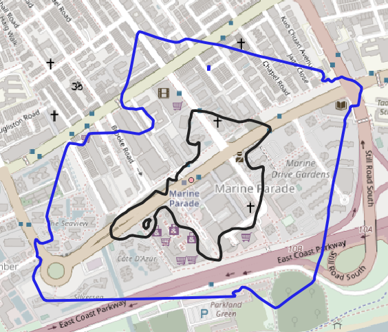
We utilise Iso-Area from QNEAT3 Plugin for QGIS to calculate the fastest path based on the speed of 3.6km/h based on the LTA report1 . The size of ISO-Area is in time value of 600 seconds (10 Minutes) and the Contour Interval at 300 seconds (5 minutes). Vector layers will be utilizing OSM geofabrik roads network layer and TEL Stage 4 stations from clipped geofabrik transport layer.